Earth System Data Explorer
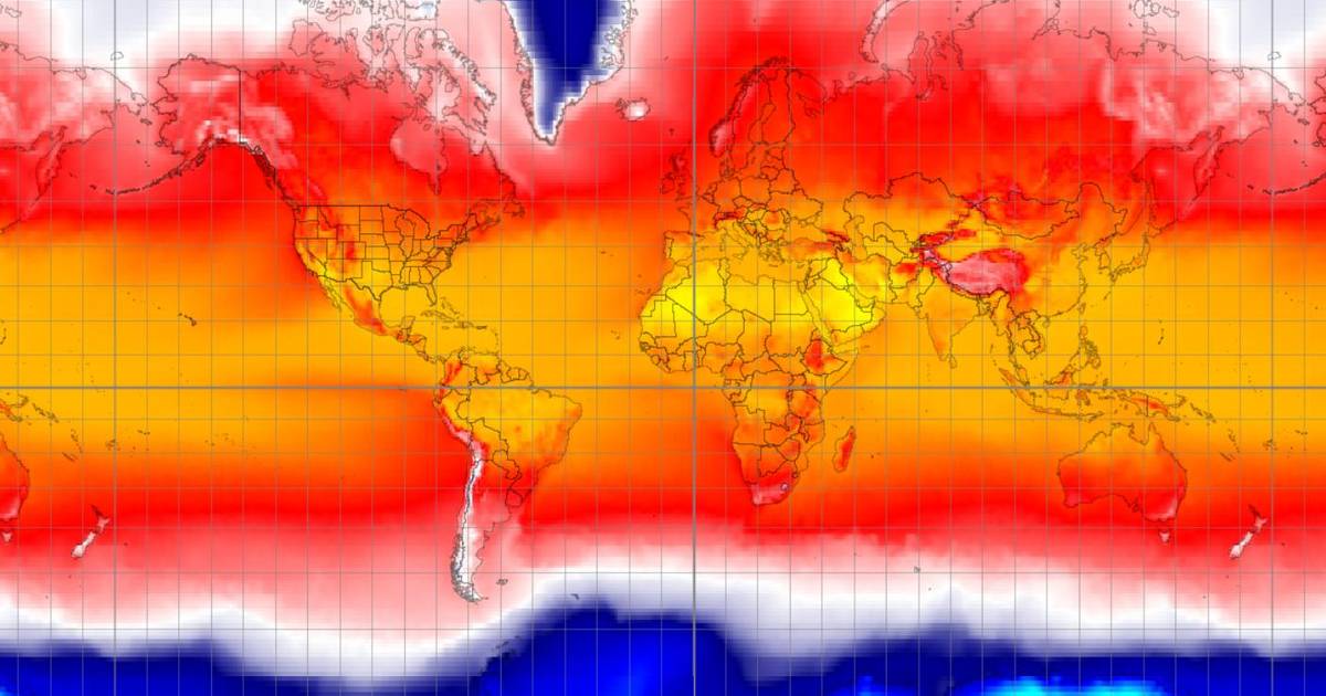
Explore Earth from above: this interactive allows students to investigate global environmental data—such as land cover, vegetation health (NDVI), temperature, and more—across space and time using real satellite imagery and Earth system datasets.
Related resources
Topics
- landsat
- remote sensing
- satellite imagery
- false-color images
- land cover change
- ecosystems
- environmental monitoring
- human impacts
- Earth systems
- cause and effect
- landscape modeling
- digital mapping
- science modeling