Investigating Heat Islands: Design Challenge
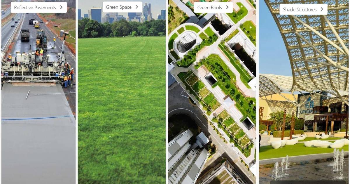
Urban heat islands can create temperature differences of up to 15–20°F between built-up and green areas, impacting human health and increasing heat-related risks. This lesson guides students through analyzing real-world heat-mapping data, investigating climate and land-use patterns, and designing engineering-based cooling solutions. Explore more resources and continue your journey in the Investigating Heat Islands pathway.
Related resources
Topics
- urban heat island
- heat index
- climate literacy
- environmental data
- GIS mapping
- land cover
- albedo
- urban planning
- climate adaptation
- environmental health
- temperature mapping
- weather hazards
- inquiry learning
- community resilience
- heat mitigation
- reflective pavement
- shade structures
- green infrastructure
- tree planting
- climate science
- environmental monitoring