Worksheet: 4 Ways GIS Mapping Can Empower Forest Communities in Indonesia
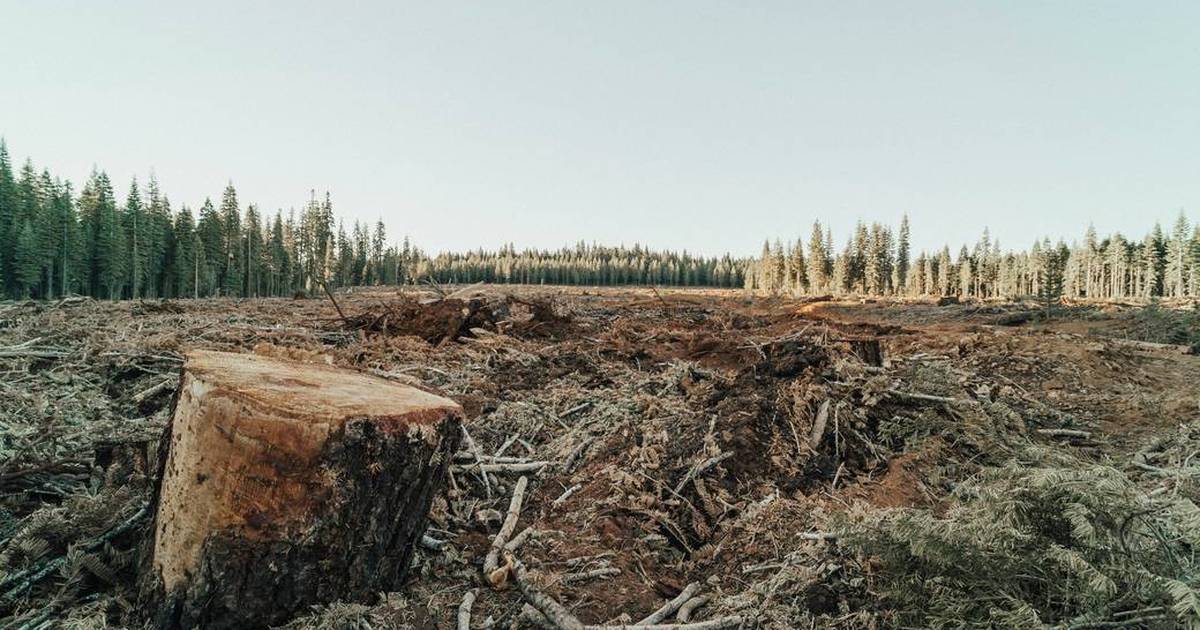
This 4 Ways GIS Mapping Can Empower Forest Communities in Indonesia worksheet is intended to support student understanding of the 4 Ways GIS Mapping Can Empower Forest Communities in Indonesia article.
Topics
- GIS mapping
- geospatial analysis
- digital maps
- GPS coordinates
- land use
- spatial data
- environmental monitoring
- deforestation
- mapping technology
- data layers
- satellite mapping
- cartography