4 Ways GIS Mapping Can Empower Forest Communities in Indonesia
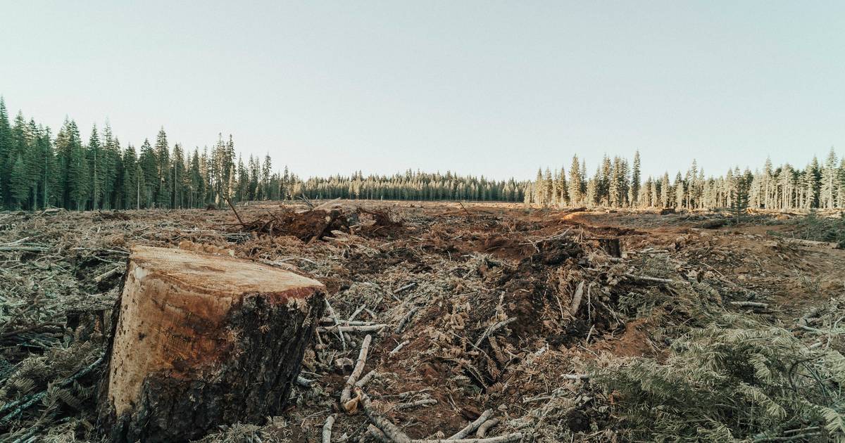
Indonesia has one of the world’s highest deforestation rates, with many communities relying on forests for survival. Explore how Geographic Information Systems (GIS) empower local (adat) communities to map land, resolve conflicts, and support sustainable land governance.
Topics
- GIS mapping
- geospatial analysis
- digital maps
- GPS coordinates
- land use
- spatial data
- environmental monitoring
- deforestation
- mapping technology
- data layers
- satellite mapping
- cartography